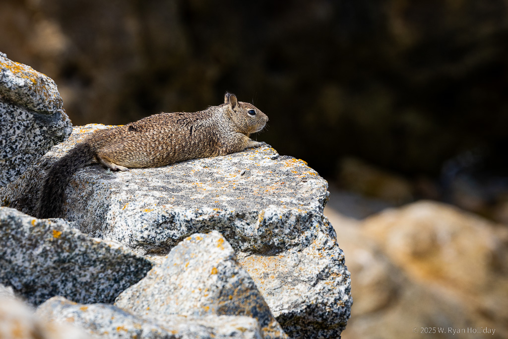
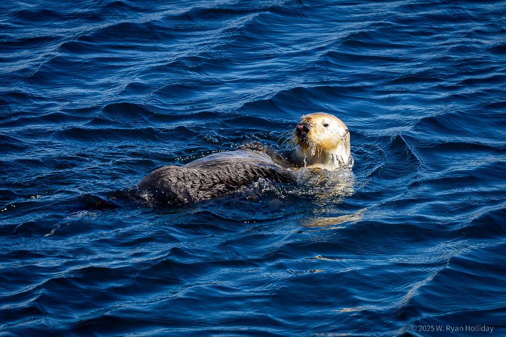
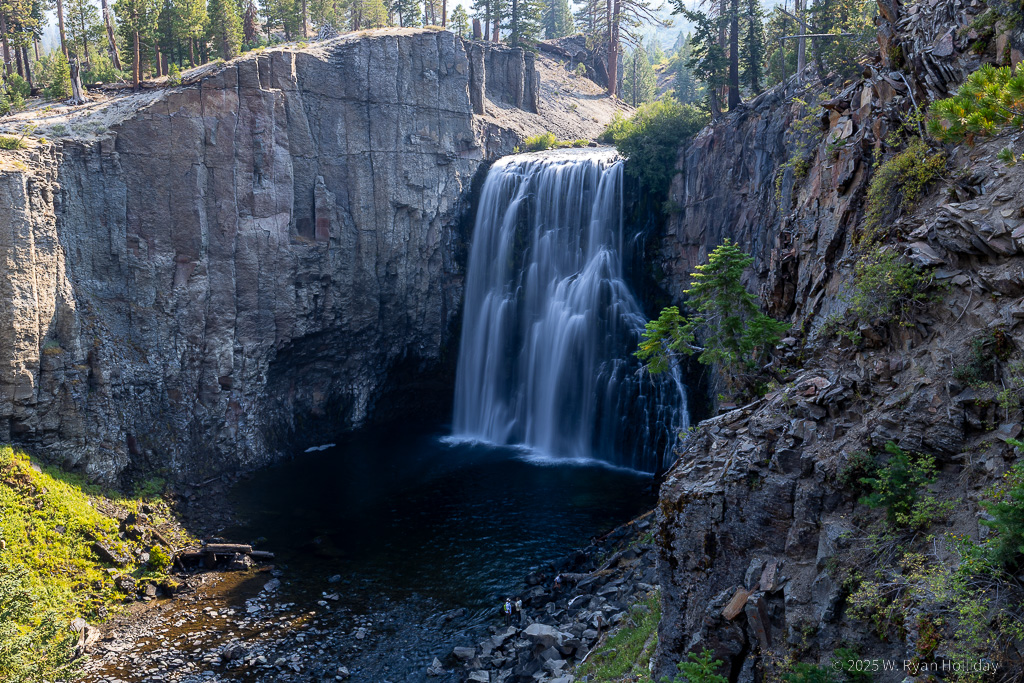
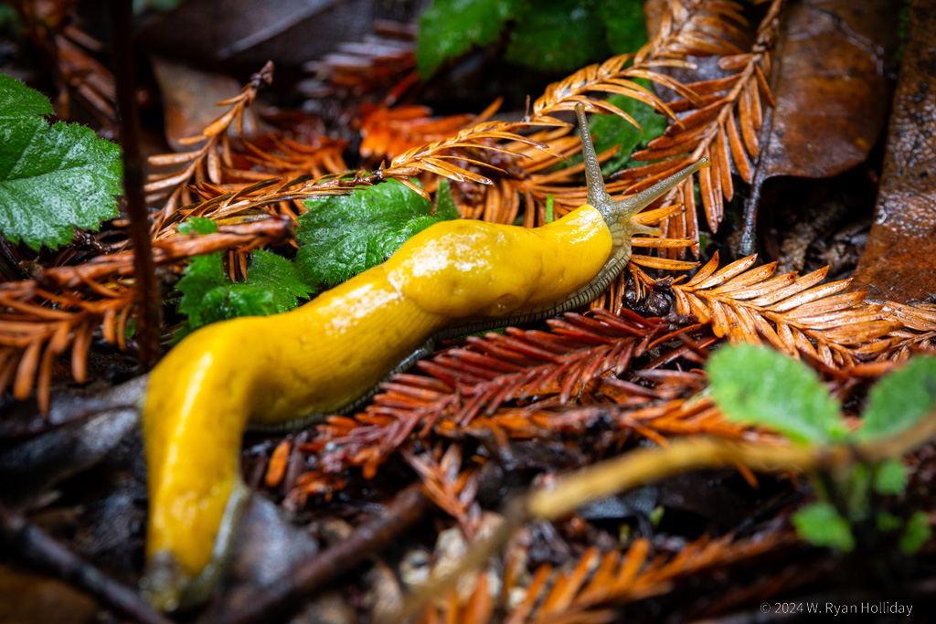
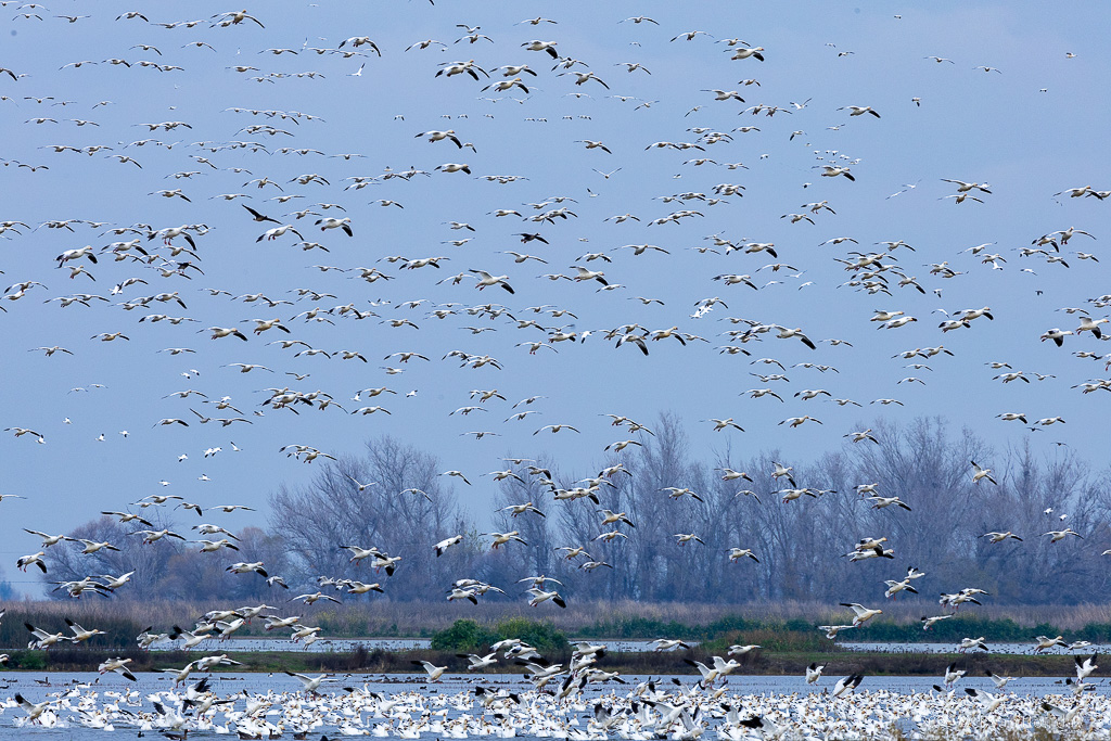
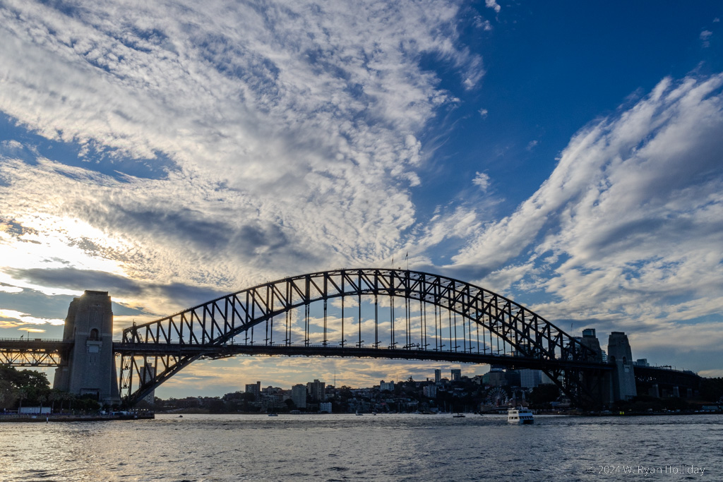
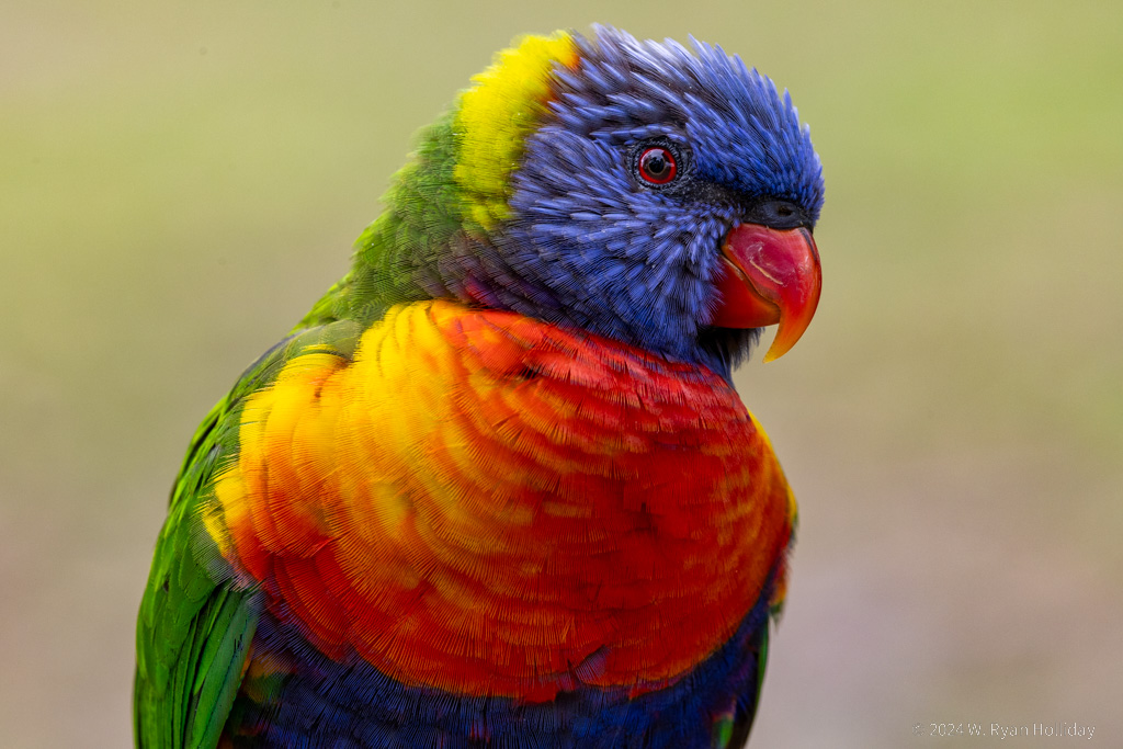
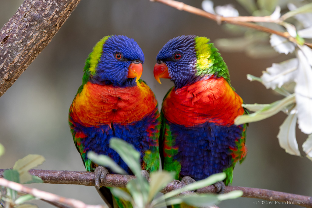
After twelve nights away the trip has ended, but here’s a recap of the last three days. On Tuesday we set off for Elkhorn Slough, an area thirty minutes north of Monterey that is normally a hotspot for sea otters. On this visit, however, construction equipment and a “closed” sign blocked the parking lot; they are apparently doing some habitat restoration, so future visits should be even better, but we were stymied in our otter quest this time. But (spoiler alert) there were a ton of otters down the coast; the cute little buggers are doing much better than back in the early 1900s when they were feared to have been hunted to extinction.
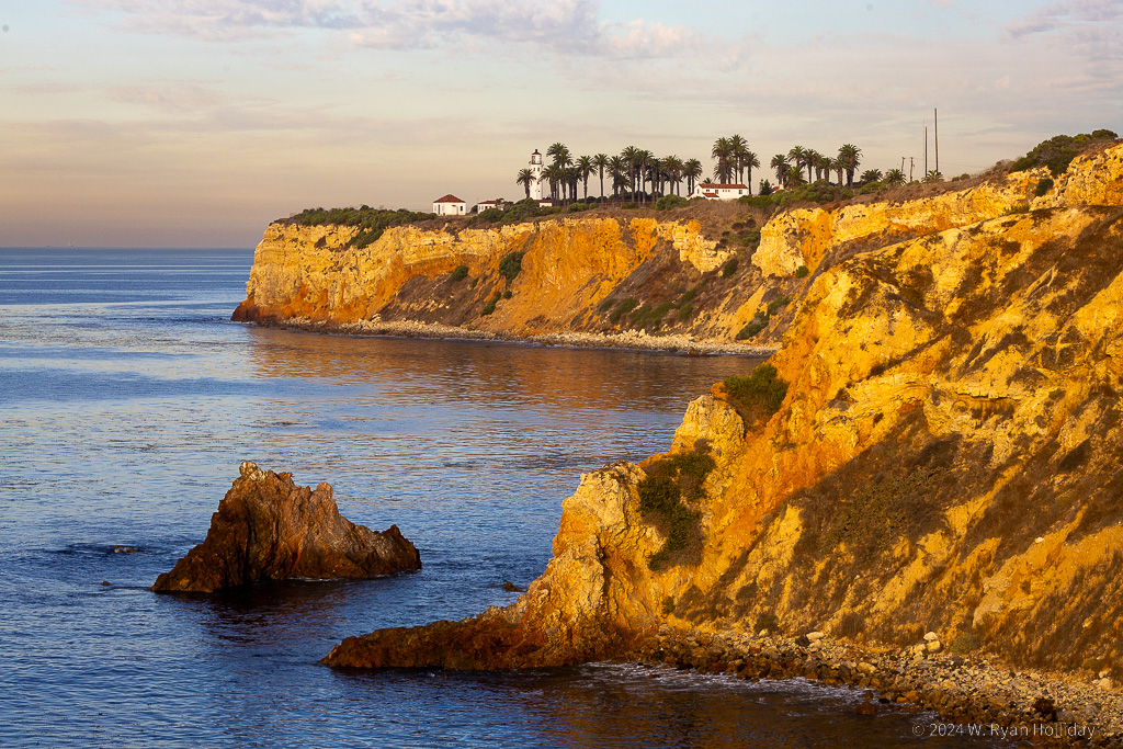
On Wednesday we made a third quick visit to the aquarium and then headed south via the 17 Mile Drive along the coast and through Pebble Beach. It’s a touristy thing to do, but it’s a really pretty part of the planet so I didn’t mind paying $12 and sharing the road with a bunch of other tourists. From there we continued south to the town of Los Alamos. I’d picked it since it’s close to Vandenberg Air Force Base, the west coast’s spaceport, and I was hoping to catch a rocket launch, but unfortunately nothing was blasting off while we were there, so we’ll have to try again in the future.
Our lodging for the night was the Victorian Mansion, a building that was originally built in 1864 and later moved to Los Alamos in 1980. As if staying in a 160 year old mansion wasn’t enough of a draw, they have also themed each room. We stayed in the French room, with hand painted scenes of Paris on the walls and a spiral staircase leading up to our loft bed, but other rooms included a gypsy room, an Egyptian room, a pirate room, and their Hobbit Hole will be opening soon.
The town of Los Alamos is a tiny place with numerous buildings that date back a hundred years, and while it’s supposedly crowded from Thursday through Sunday, on a Wednesday night it was almost completely empty and Audrey accurately remarked that it felt like we were in a Twilight Zone episode as we walked a mostly-empty street with a cowboy saloon on one side and an old railroad depot on the other. We ended up in an ancient mercantile that is now the Pico Restaurant, and I placed my standard cocktail order, asking the server to bring me the girliest, most embarrassing drink they could come up with. In twenty years of making that order, this one was the best: they actually brought me two drinks, one a purple and pink margarita, and the second was a brown and white tropical drink with an entire garden of fruit, mint, flowers, and whatever else they could find decorating the top. I went to bed a very, very happy, and quite tipsy, man.
Today we enjoyed breakfast on our balcony, made a stop in the weird Danish town of Solvang, then returned home after a 2.5 hour drive. All in all it’s been a nice little tour around California.